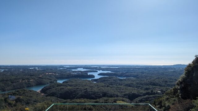

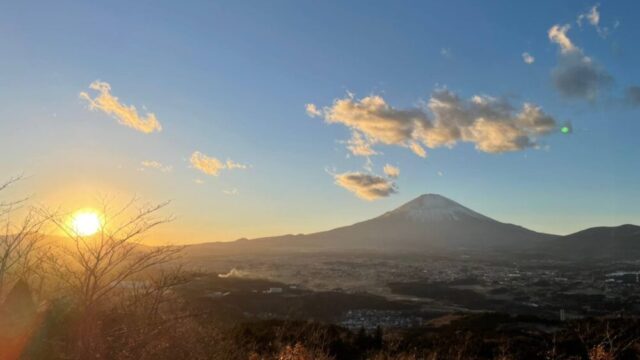
Mt.Ziga is a 2,670-meter-high mountain located in the southern part of the Hida Mountain Range and Mt.Ziga. It consists of three peaks: the North Peak (2,630 m above sea level), the Main Peak (central peak), and the South Peak (2,660 m above sea level). In spring, the snow shape of an old man sowing seeds can be seen, and this snow shape is said to be the origin of the name “Mt.Ziga. It has been selected as one of the Three Hundred Famous Mountains of Japan and One Hundred Famous Mountains of Flowers. The southeastern hillside of Shirasawa Tengu One is also home to Mountains.
Climbing Route Introduction
▼Date of climb
Late August
▼ Climbing level
★★★☆☆ For intermediate climbers
If you are accustomed to mountaineering or have the stamina to walk for about 7 hours a day, you can climb the mountain, but basically, we recommend staying overnight at Taneike Sanso. Basically, we recommend staying overnight at Taneike Sanso.
▼Climbing schedule and route
Climbing time: 6 hours 50 minutes ★One-day climbing is possible
05:10 Kashiwabara-shindo trailhead
07:45 Taneike Sanso *Click here for information on Taneike Sanso
08:30 South peak of Mt.
08:50 Middle peak of Mt.
10:00 Taneike Sanso
〜Lunch time
10:50 Start descent
12:50 Kashiwabara-shindo trailhead
The parking lot near the trailhead is already crowded before 5:00 a.m. A 30-minute walk will take you to the dry river bed station, but we recommend you to be there around 4:30 a.m.
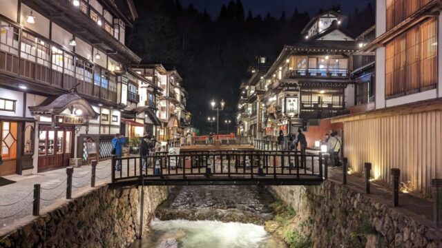
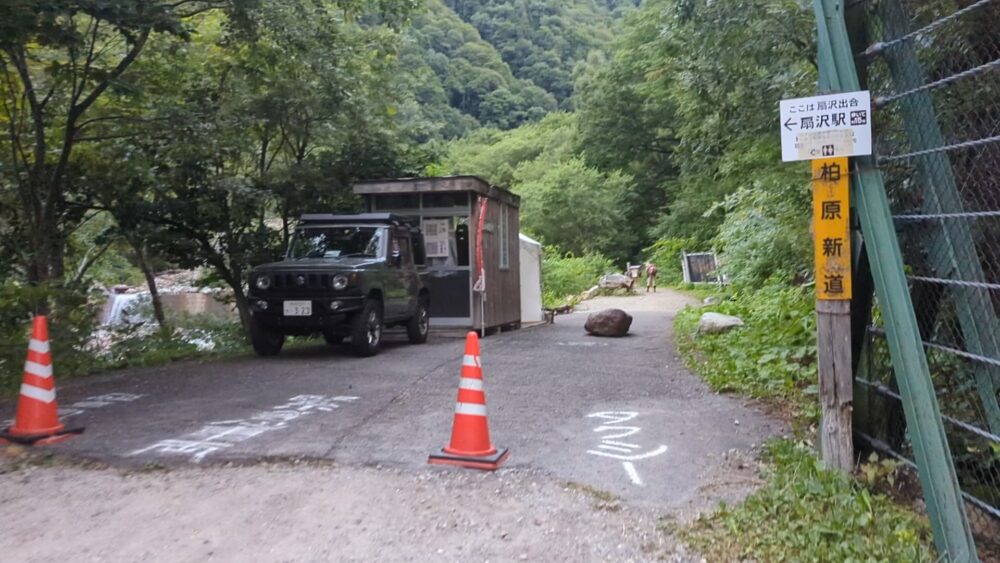
It takes about 15 minutes from Ogisawa Station to the Kashiwabara-shindo trailhead. Ogisawa Station is used for sightseeing in Kurobe Dam. Toilets and parking lots are available 24 hours a day, and vending machines are also available, so it is a good idea to park here.
*Even beginners can climb the mountain if they go on the assumption that they will stay overnight.
Points of Interest
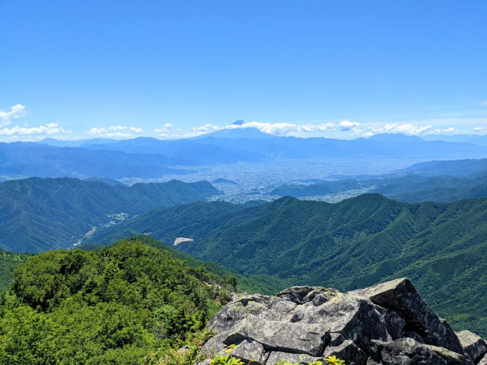
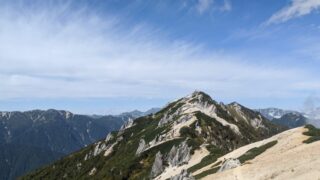
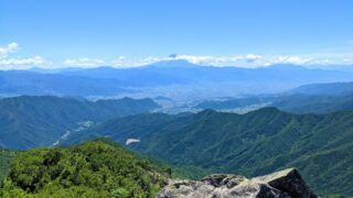
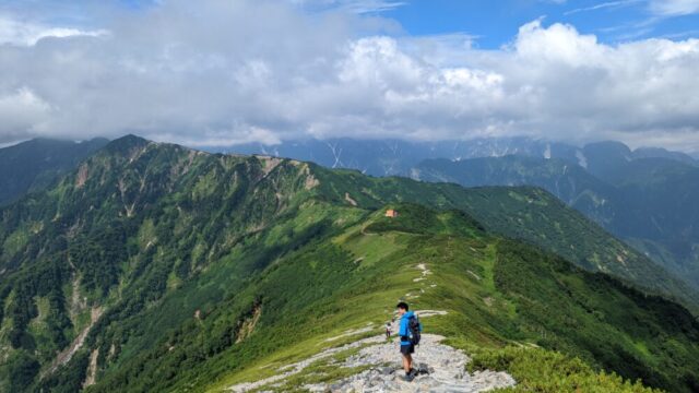
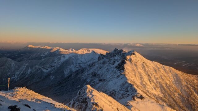
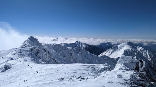
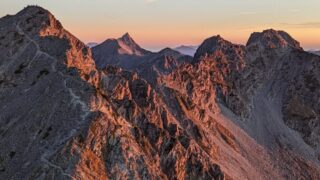
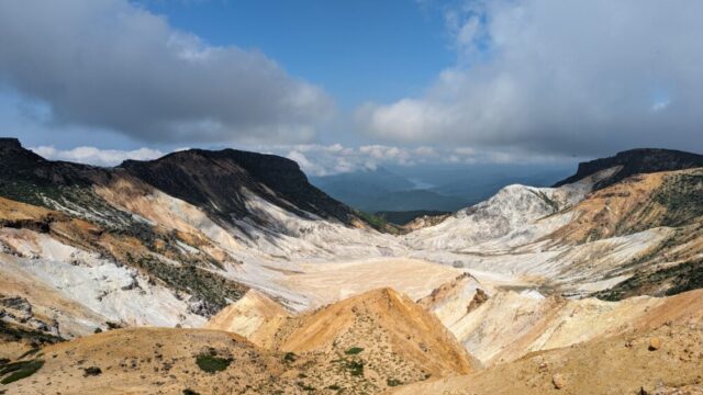
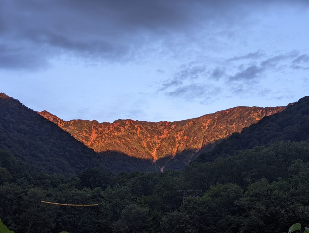
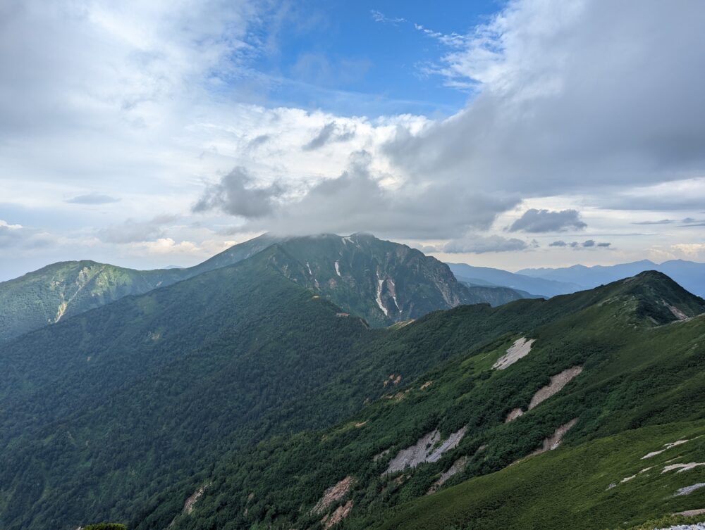
360 degree panoramic view! You can see Kashima-Yari, Tateyama, Tsurugi, Hari-noki, Renge, and Yari-Hotaka in the distance!
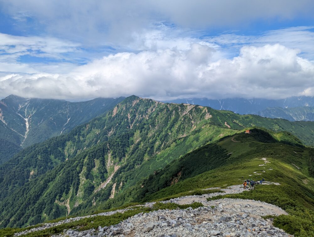
It is a pleasant walk along the ridge line while enjoying the spectacular view!
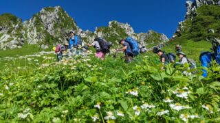
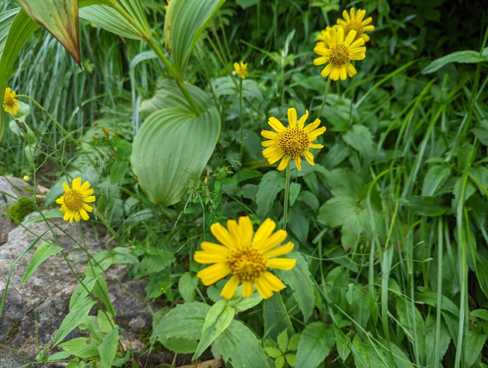
A treasure trove of alpine flora! It is especially beautiful during the summer months!
Recommended Climbing Season
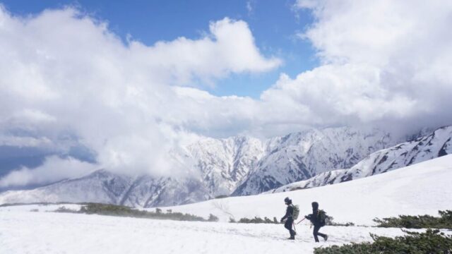
The snow accumulated in winter remains onMt.Ziga for some time after the summer. Therefore, from around July to mid-October is the best season to climb Mt. Furthermore, as Mt. Yatsugatake is one of the 100 most famous mountains for its flowers, alpine plants such as Chinguruma and Kobaikeiso are in full bloom in summer.
Mountain Climbing Experience
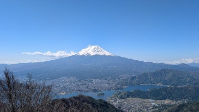
The first hour and a half or so of the climb was steep, and yes, it was a bit strenuous… but that’s mountaineering (laughs)! The ridge line leading from Tanaike Sanso to the south peak of Mt! Looking back, you can see Mt! Please try it!
View from the trailhead to the summit
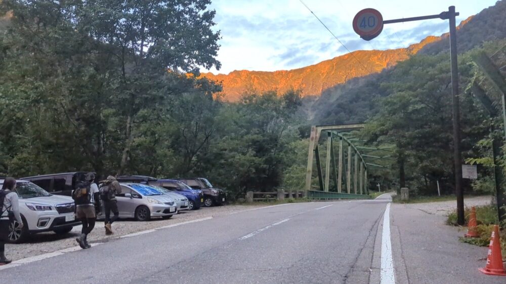
Parking near the trailhead is already crowded before 5:00 a.m. A 30-minute walk will bring you to the dry river bed station, but be sure to get there around 4:30!
If you cannot park at the Kashiwabara-shindo trailhead, that is okay. If you park at Ogisawa Station, you can reach the Kashiwabara-shindo trailhead in about 15 minutes. Ogisawa Station is used for sightseeing at Kurobe Dam and is open 24 hours a day and has restrooms and vending machines, so parking there is also a good option.
05:10 Kashiwabara-shindo trailhead
Submit your trail report at the hut on the left.
Now, let’s start climbing! Start climbing from here!
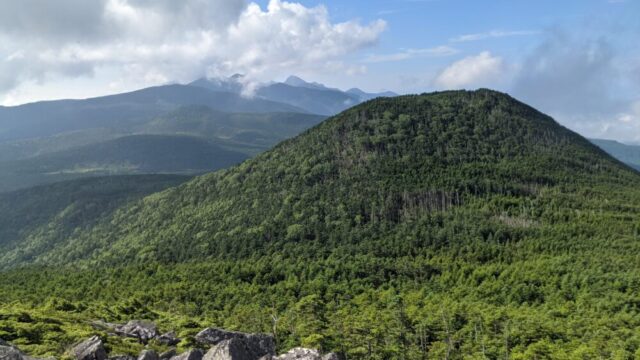
The climb begins with a slightly steep ascent through a wooded area. However, it is a well-maintained mountain path, so it is very easy to climb!
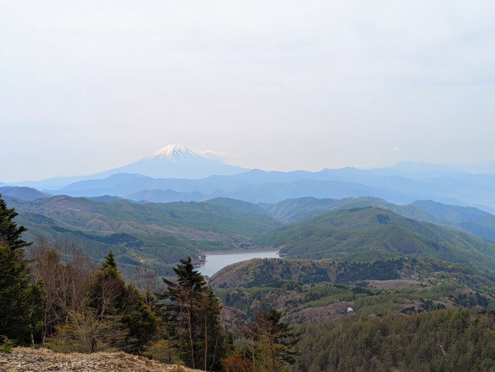
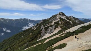
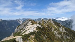
About an hour after starting the ascent, you will be able to see the “beautiful ridge line leading from Mt!
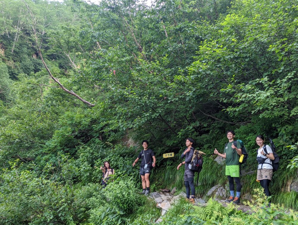
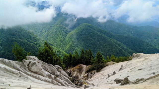
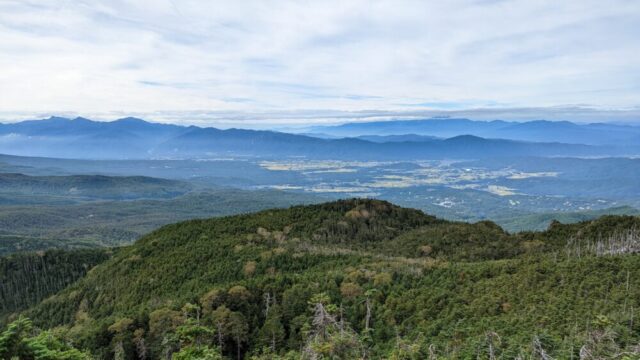
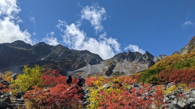
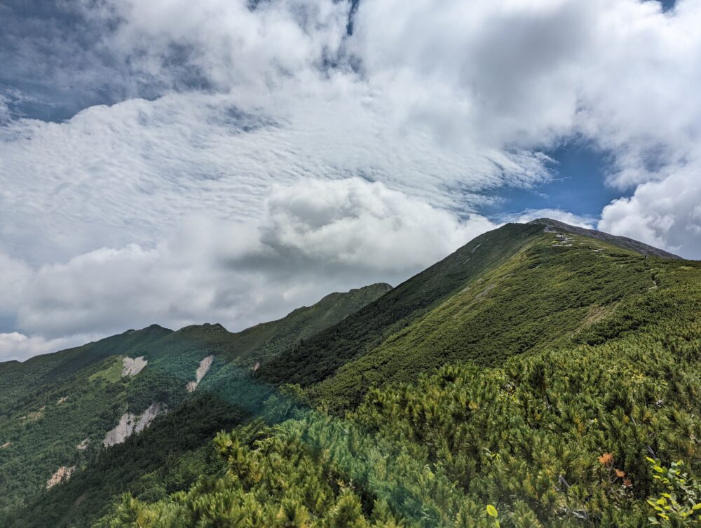
After passing through the “cobblestone pavement” paved with large rocks, the mountain path becomes gentler and the view is outstanding! In the fall, it is a beautiful place to view the autumn leaves of Nanakamado and Dakegamba. After that, we went to the point where Kashiwabara-Shindo is said to be dangerous (the point in the photo), Gara-jo.
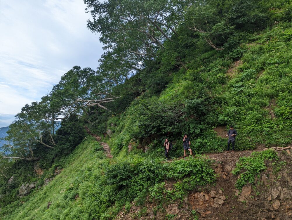
It would have been very dangerous to step off the path. The path is wide enough for two people, but you cannot pass each other, so be careful!
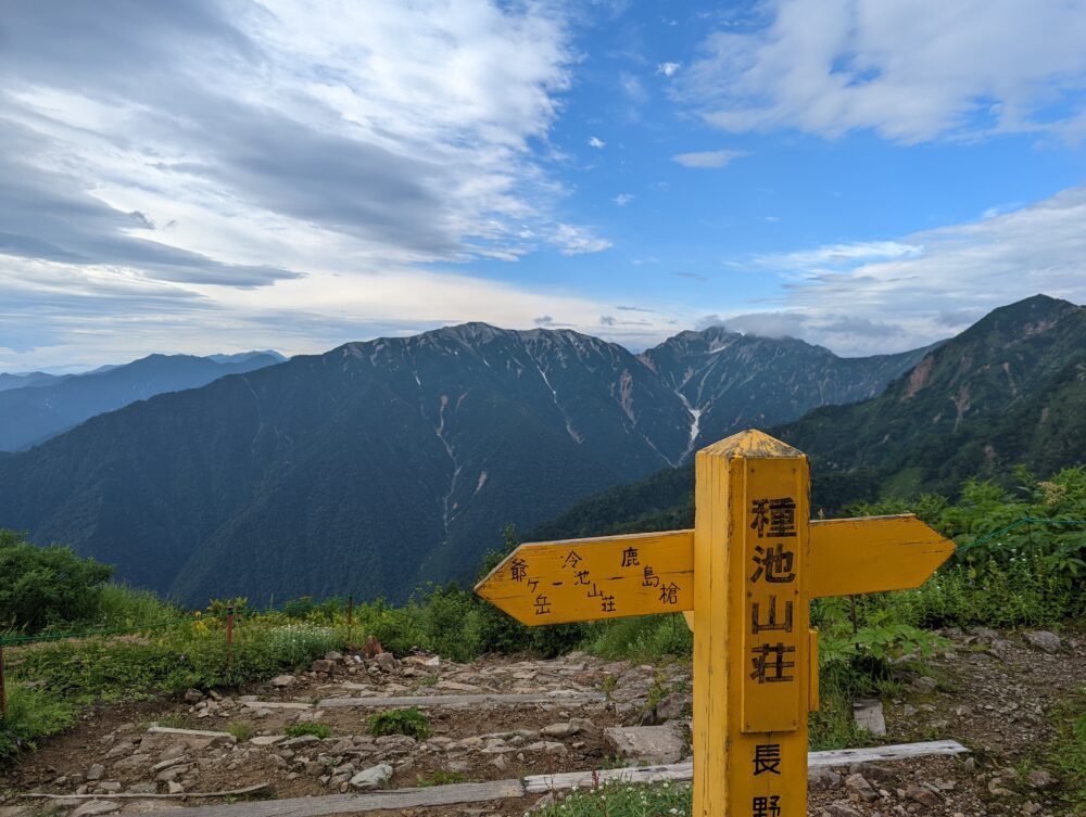
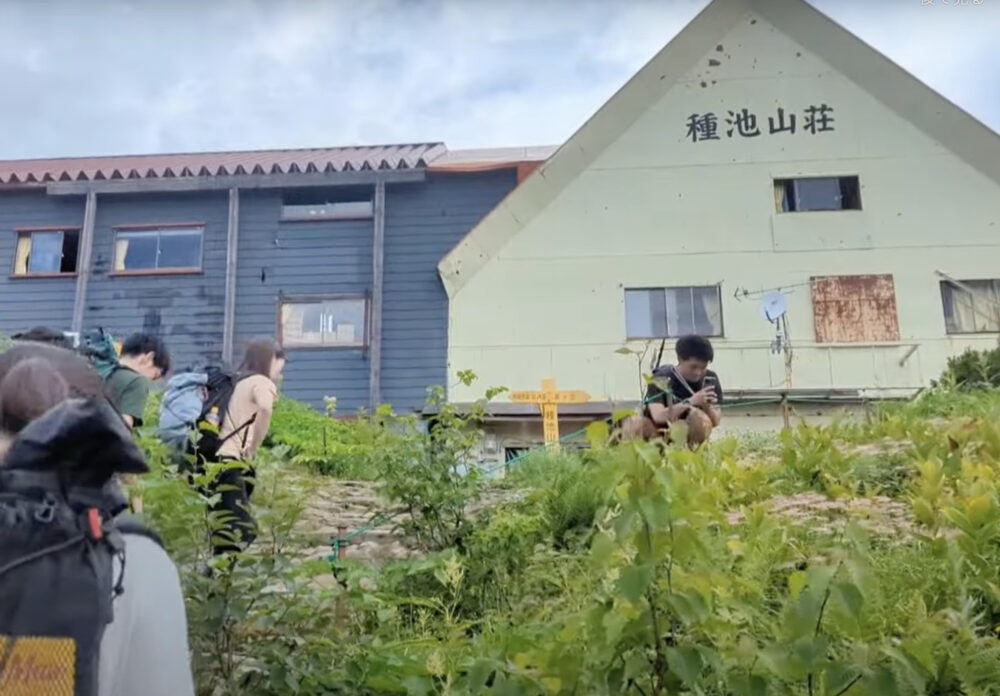
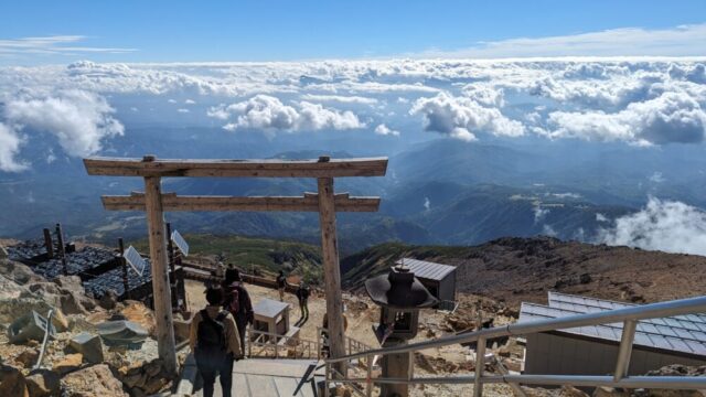
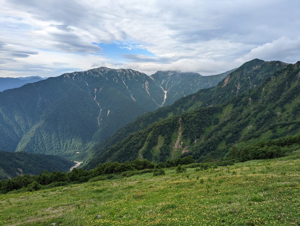
07:45 Taneike Villa
Click here for information on Taneike Sanso.
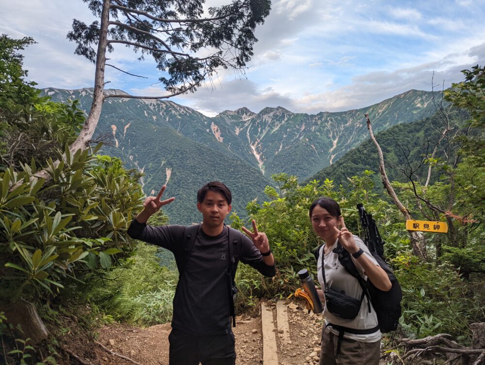
Alpine flora such as buckthorn and chinguruma are spreading around here. Furthermore! From the lodge, you can also see the south peak of Mt!
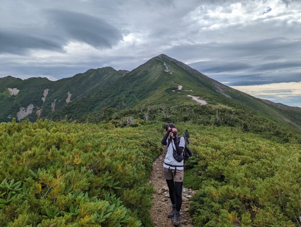
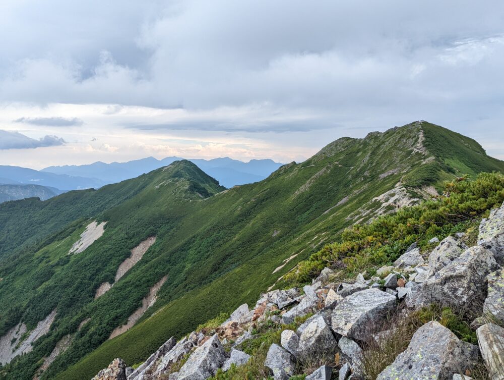
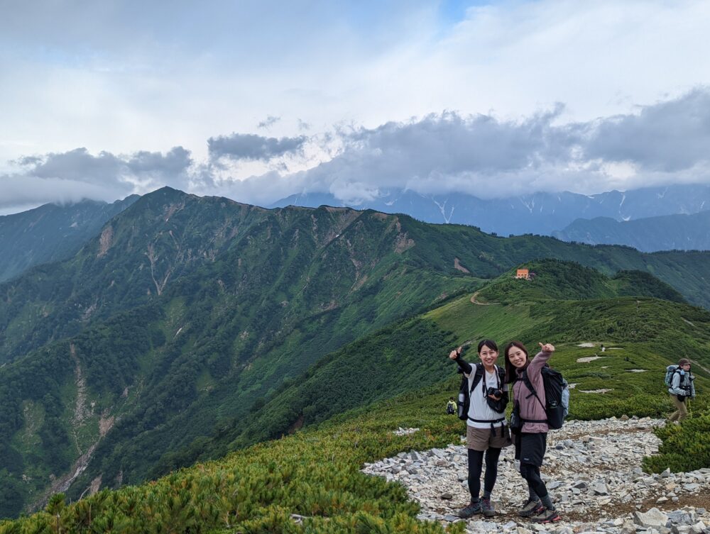
Well, here we go! From here we will walk along the ridge line from Taneike Sanso to the south peak of Mt! The view is great as we climb up between high pines! If you look back, you can see Mt!
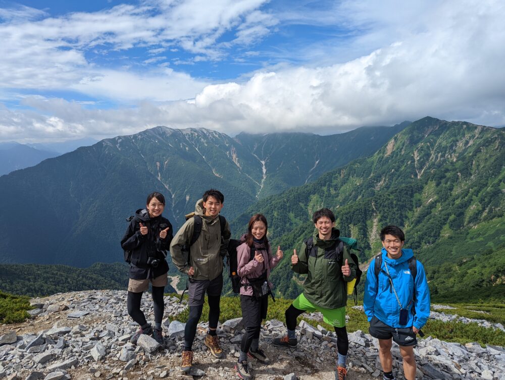
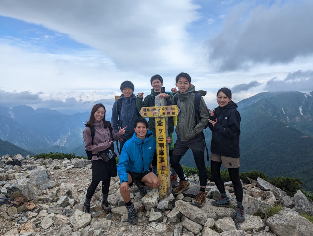
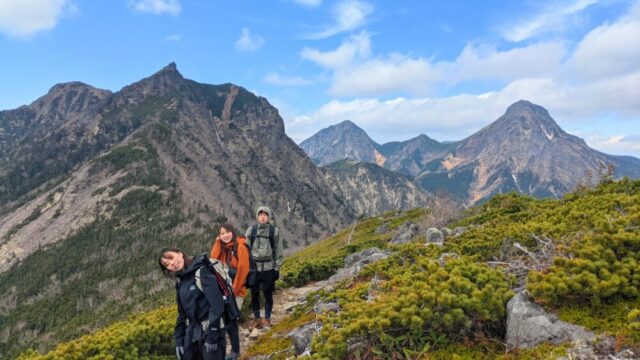
08:30 South peak of Mt.
It took us about 3 hours and 20 minutes to reach the summit! The summit of the South Peak of Mt!
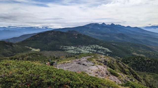
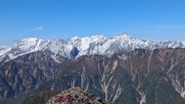
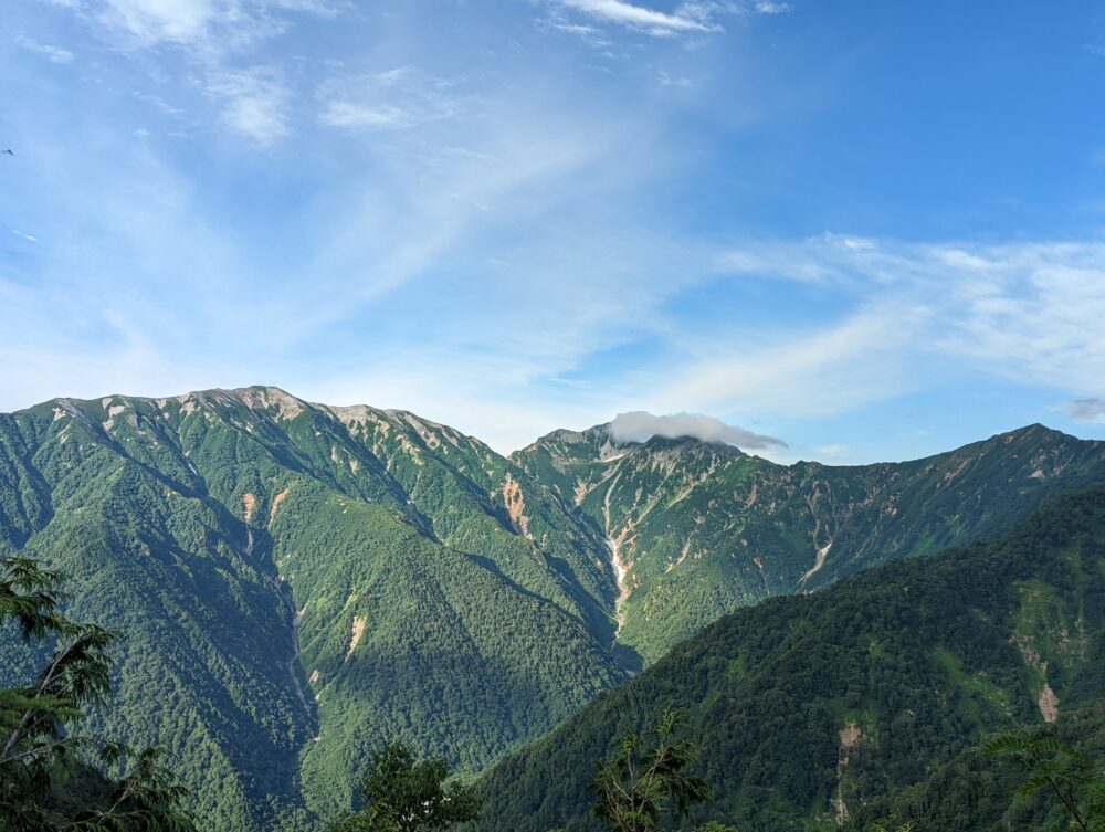
The view from the top of the south peak of Mt.
You can see the middle and north peaks of Mt.
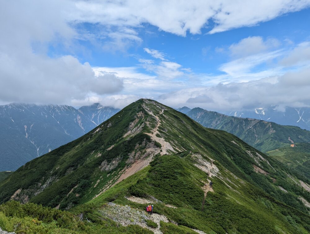
The ridge line leading to Mt.Kashima-Yari can be clearly seen on the left. In addition, there are alpine flora such as chinquapin flowers at the foot of the mountain.
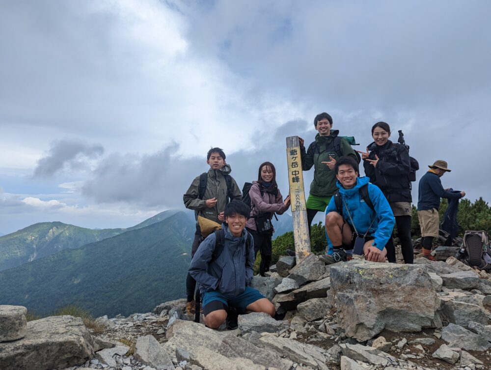
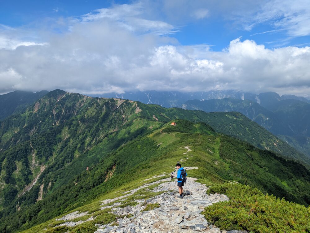
08:50 The middle peak of Mt.
It is the highest peak among the three peaks of Mt! But we couldn’t go to the North peak because we didn’t have time.
Northern Alps Recommended Mountains
There are many other mountains in the Northern Alps that we recommend, so please check them out here!
Mountaineering Preparation and Equipment
Before you begin climbing a mountain, it is important to select and prepare the proper equipment. Here is a checklist of essential items and how to choose climbing equipment such as climbing shoes and backpacks. We will also inform you about important but often forgotten items.
⛰ Clothing ⛰
Shoes
Climbing shoes
Climbing shoes with good foot support and non-slip soles are required. Proper size and fit are important for a comfortable climbing experience.

Climbing clothes
T-shirt, shorts (or long tights if you don't want to get hit by grass), outdoor jacket, heavy socks
Hat, spare T-shirt *Adjust according to the season.

Mountaineering backpack:.
You will need a backpack large enough to hold the necessary equipment, food and drink, and warm clothing. Be sure to pay attention to the comfort and adjustability of the backpack.

Protective equipment
Head and limb protection such as helmets, gloves, and sunglasses are important to ensure your safety while climbing.

Warm clothing
In mountainous areas, temperatures can change rapidly, so it is important to have warm clothing. A fleece, down jacket, windproof and waterproof shell jacket, etc. are necessary.

Trekking poles
Trekking poles are useful to support balance on slopes and unstable terrain.

Mountaineering map application "YAMAP
Download a map of the mountain you will be climbing with the mountaineering map application "YAMAP" in advance. You can check your location with GPS even when you are offline.

⛰ Recommended items⛰.
First aid kit
Headlamp
Drink (This is important! You will need a liter! You need at least 1 liter.
Food - Onigiri rice balls and waders to eat on the way
Snacks
Money (It's better to have cash since it's not electronic!)
Insect repellent (you don't have to bring any)
Towel
Sunscreen
Tissues, wet wipes
Charger
Folding umbrella or umbrella